
Max flight speed.
22 m/sec
Max flight time
30 min
Payload
4 Kg
Range
15 Km
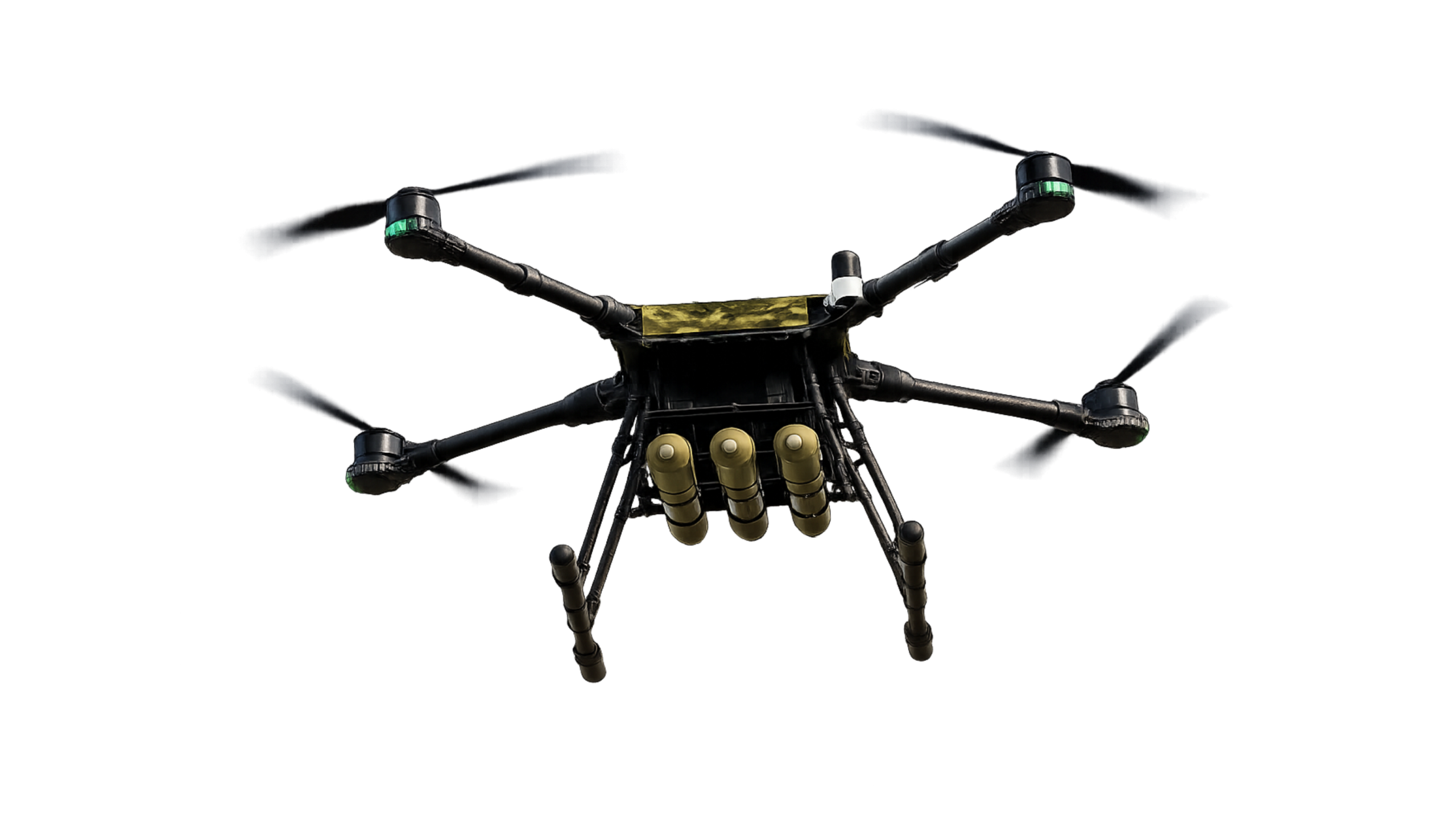
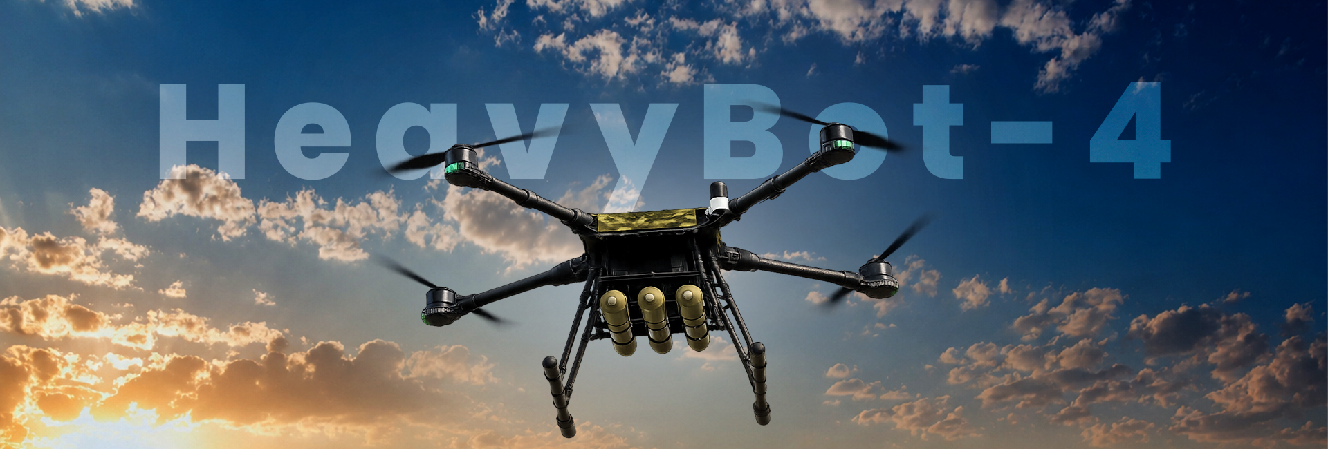
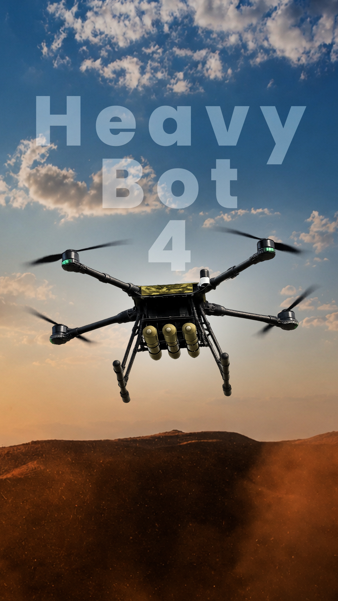
HeavyBot 4 - Combat Support UAV
Modular. Mission-Ready. Long Endurance
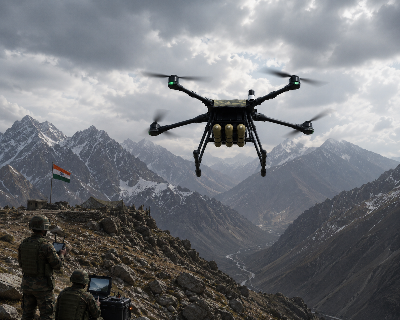
HeavyBot 4 is a lightweight, mission-ready tactical UAV designed for surveillance, reconnaissance, and payload-based defence operations. Built with a modular payload architecture, it supports rapid integration of advanced EO/IR cameras, LiDAR, and hyperspectral sensors, making it an adaptable platform for military, homeland security, and special mission requirements.
Overview
| Drone Type | Quadcopter |
|---|---|
| Max. Take off Weight | 15 Kg |
| Payload | Up to 4 Kg |
| Launch Altitude | 3000m (AMSL) |
| Flight Height | 500m (AGL) |
| Speed | 22 m/sec |
| Range | 10 km (extendable) |
| Propeller | 23 inches |
| Flight Time | Up to 45 mins |
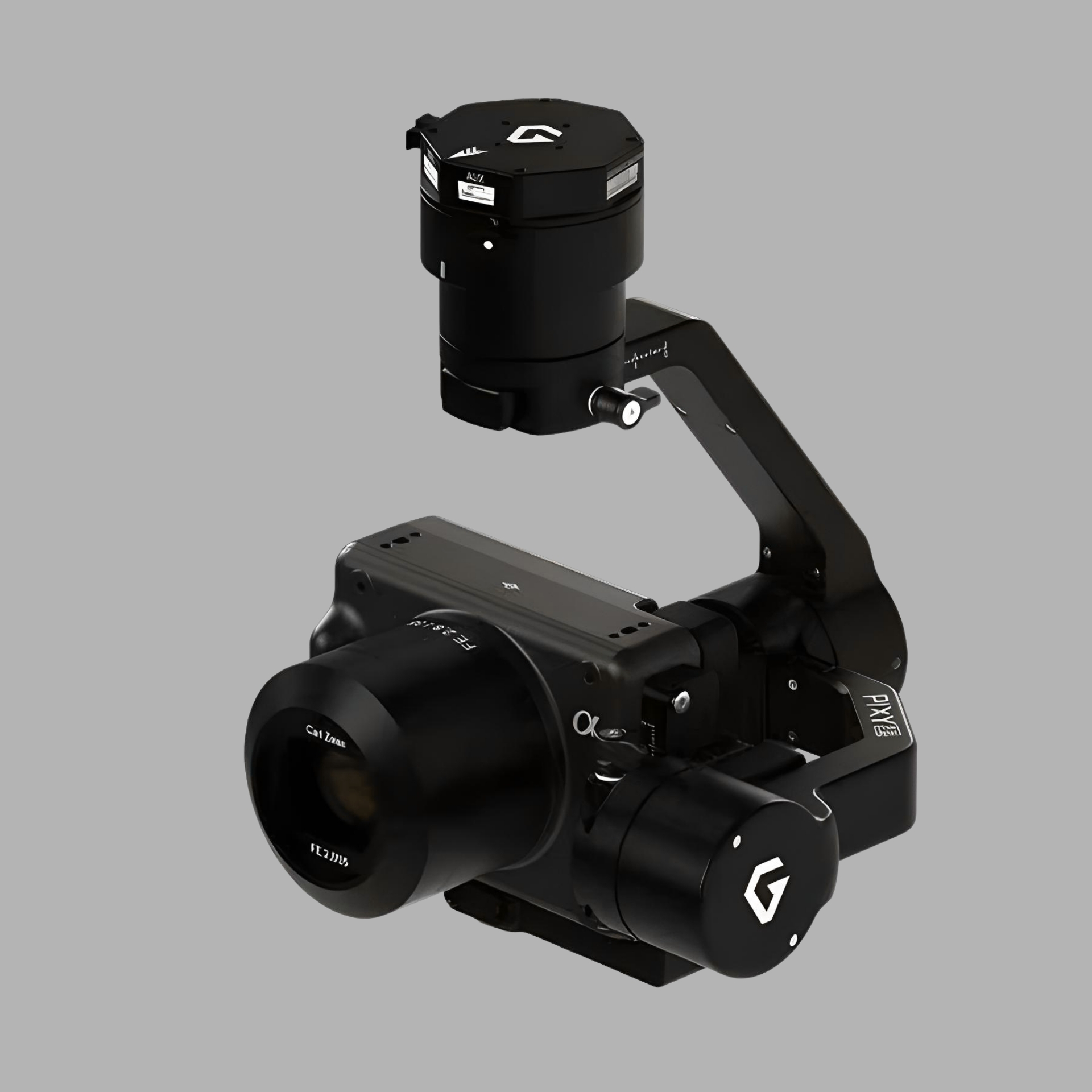
| Camera | EO / IR camera with 3 Axis Gimble |
| GPS | GPS + Galileo + GLONASS + NavIC (optional) |
Specifications
| CRPA | Yes (optional) |
|---|---|
| Flight Modes | Fully Autonomous, Manual, RTH |
| Battery Capacity | 30000 mAh |
| Ingress Protection | IP65 (Optional) |
| Frequency Hopping | Yes (optional) |
| AI features (optional) | Object tracking, DRI |
| Video Positioning System | Yes (optional) |
| Functional Temperature | -20°C to 55°C |
| Communication Security | AES 128/256 |
| Drone Type | Quadcopter |
|---|---|
| Max. Take off Weight | 15 Kg |
| Payload | Up to 4 Kg |
| Launch Altitude | 3000m (AMSL) |
| Flight Height | 500m (AGL) |
| Speed | 22 m/sec |
| Range | 10 km (extendable) |
| Propeller | 23 inches |
| Flight Time | Up to 45 mins |
| Camera | EO / IR camera with 3 Axis Gimble |
| GPS | GPS + Galileo + GLONASS + NavIC (optional) |
| CRPA | Yes (optional) |
|---|---|
| Flight Modes | Fully Autonomous, Manual, RTH |
| Battery Capacity | 30000 mAh |
| Ingress Protection | IP65 (Optional) |
| Frequency Hopping | Yes (optional) |
| AI features (optional) | Object tracking, DRI |
| Video Positioning System | Yes (optional) |
| Functional Temperature | -20°C to 55°C |
| Communication Security | AES 128/256 |
| Drone Type | Quadcopter |
|---|---|
| Max. Take off Weight | 15 Kg |
| Payload | Up to 4 Kg |
| Launch Altitude | 3000m (AMSL) |
| Flight Height | 500m (AGL) |
| Speed | 22 m/sec |
| Range | 10 km (extendable) |
| Propeller | 23 inches |
| Flight Time | Up to 45 mins |
| Camera | EO / IR camera with 3 Axis Gimble |
| GPS | GPS + Galileo + GLONASS + NavIC (optional) |
| CRPA | Yes (optional) |
|---|---|
| Flight Modes | Fully Autonomous, Manual, RTH |
| Battery Capacity | 30000 mAh |
| Ingress Protection | IP65 (Optional) |
| Frequency Hopping | Yes (optional) |
| AI features (optional) | Object tracking, DRI |
| Video Positioning System | Yes (optional) |
| Functional Temperature | -20°C to 55°C |
| Communication Security | AES 128/256 |
Why Choose HeavyBot 4
Lightweight and highly portable platform for rapid deployment in challenging operational environments.
Supports quick integration of mission-specific payloads without platform modifications.
Compatible with advanced imaging systems for day, night, and all-weather intelligence gathering.
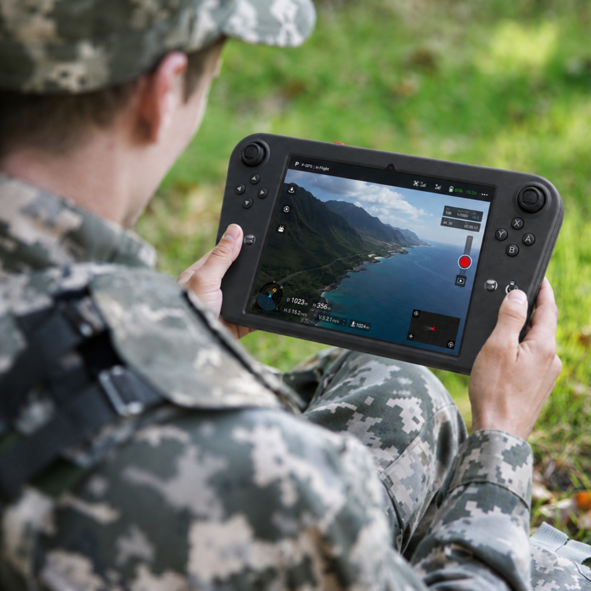
AI-assisted navigation with programmable flight paths for reliable autonomous operations.
Encrypted communication links ensure secure command, control, and real-time data transmission.
Designed to perform surveillance, mapping, inspection, search & rescue, and tactical reconnaissance using interchangeable payloads.
Why Choose HeavyBot 4
Compact Tactical Design
Modular Payload Architecture
High-Precision Surveillance
Autonomous Mission Capability
Secure Communication
Mission Flexibility
Applications of HeavyBot 4
Tactical Reconnaissance
Gather real-time intelligence for mission planning.
Border Surveillance
Monitor sensitive border areas with aerial oversight.
Critical Infrastructure Inspection
Inspect strategic assets and critical facilities safely.
Search & Rescue
Assist rescue teams with rapid aerial assessment.
Aerial Mapping
Support LiDAR and hyperspectral mapping for terrain analysis.
Alternate Possibilities
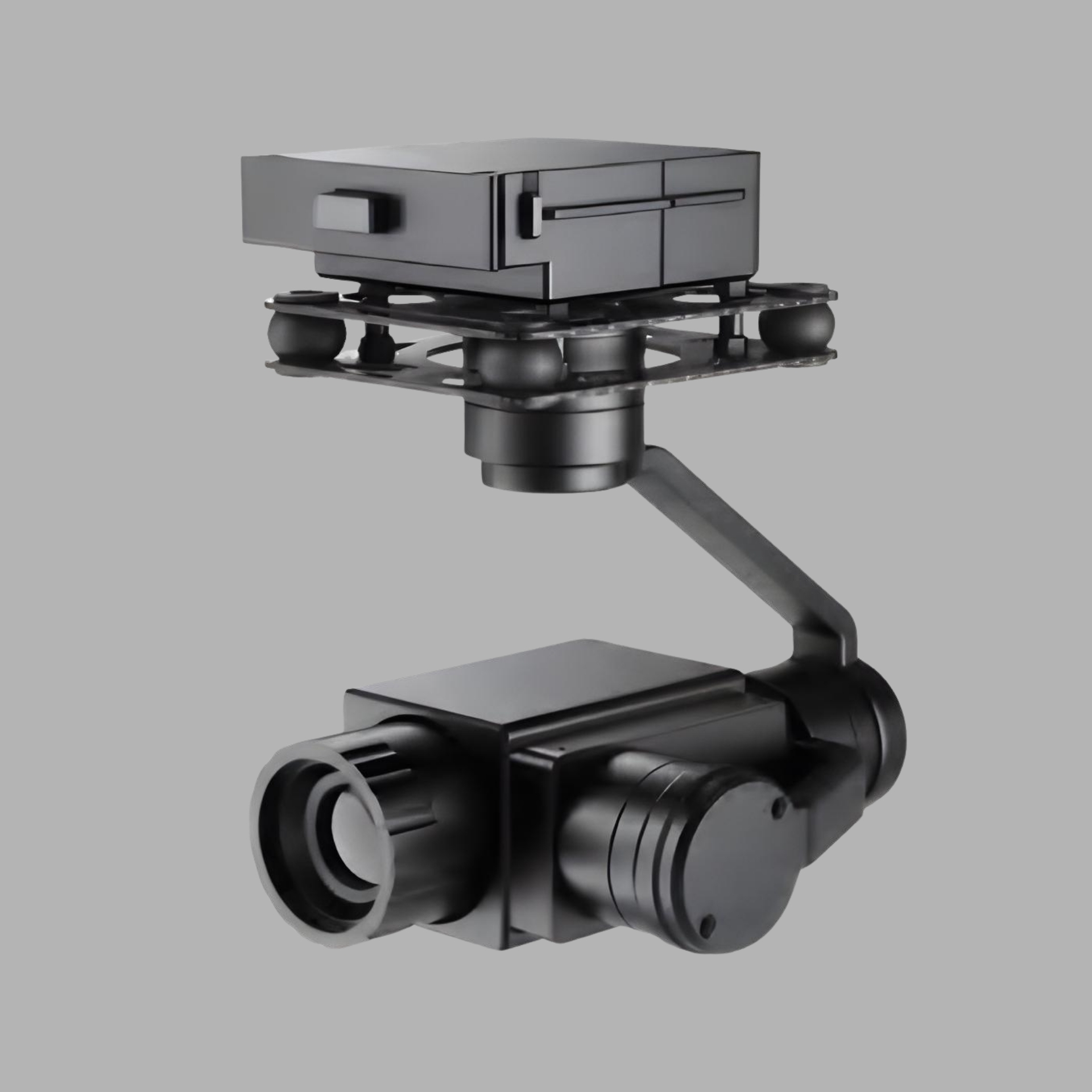
HeavyBot 4 is engineered with an open payload architecture that enables rapid integration of advanced imaging and sensing systems. Its modular design allows the platform to adapt quickly to evolving mission requirements across surveillance, mapping, reconnaissance, and intelligence operations.
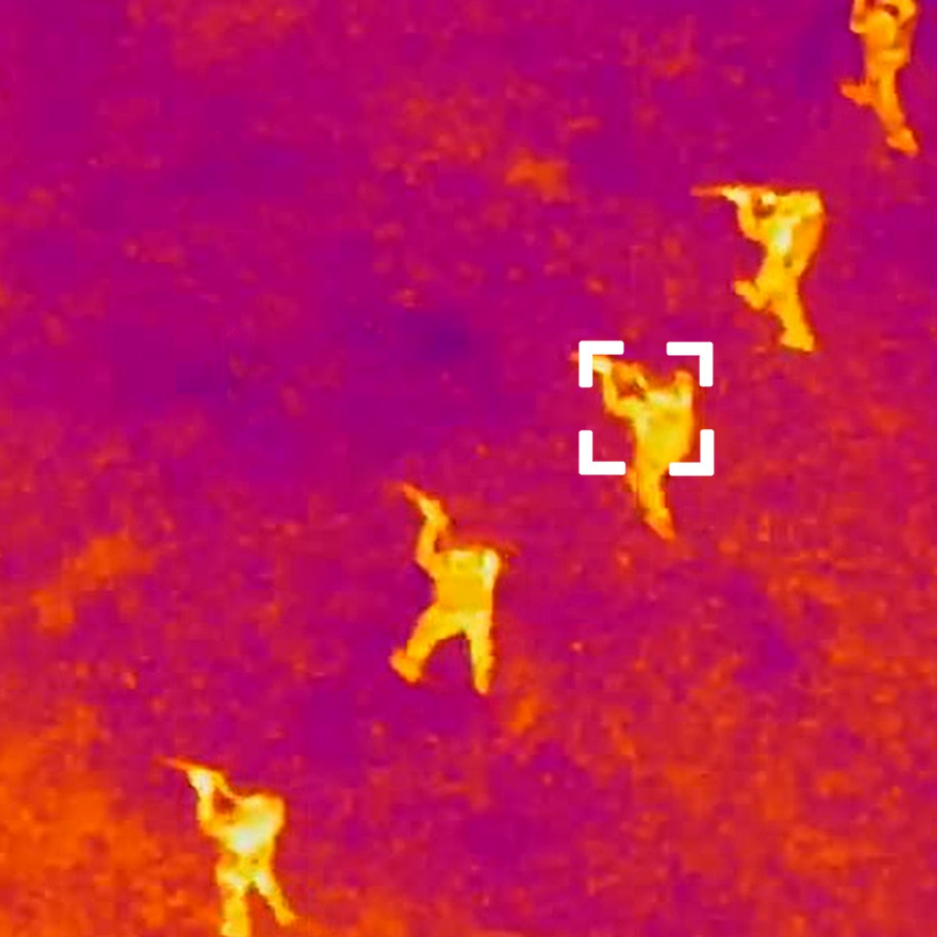
Thermal Camera
Detects heat signatures for night surveillance, low-visibility reconnaissance, search & rescue, and target identification.
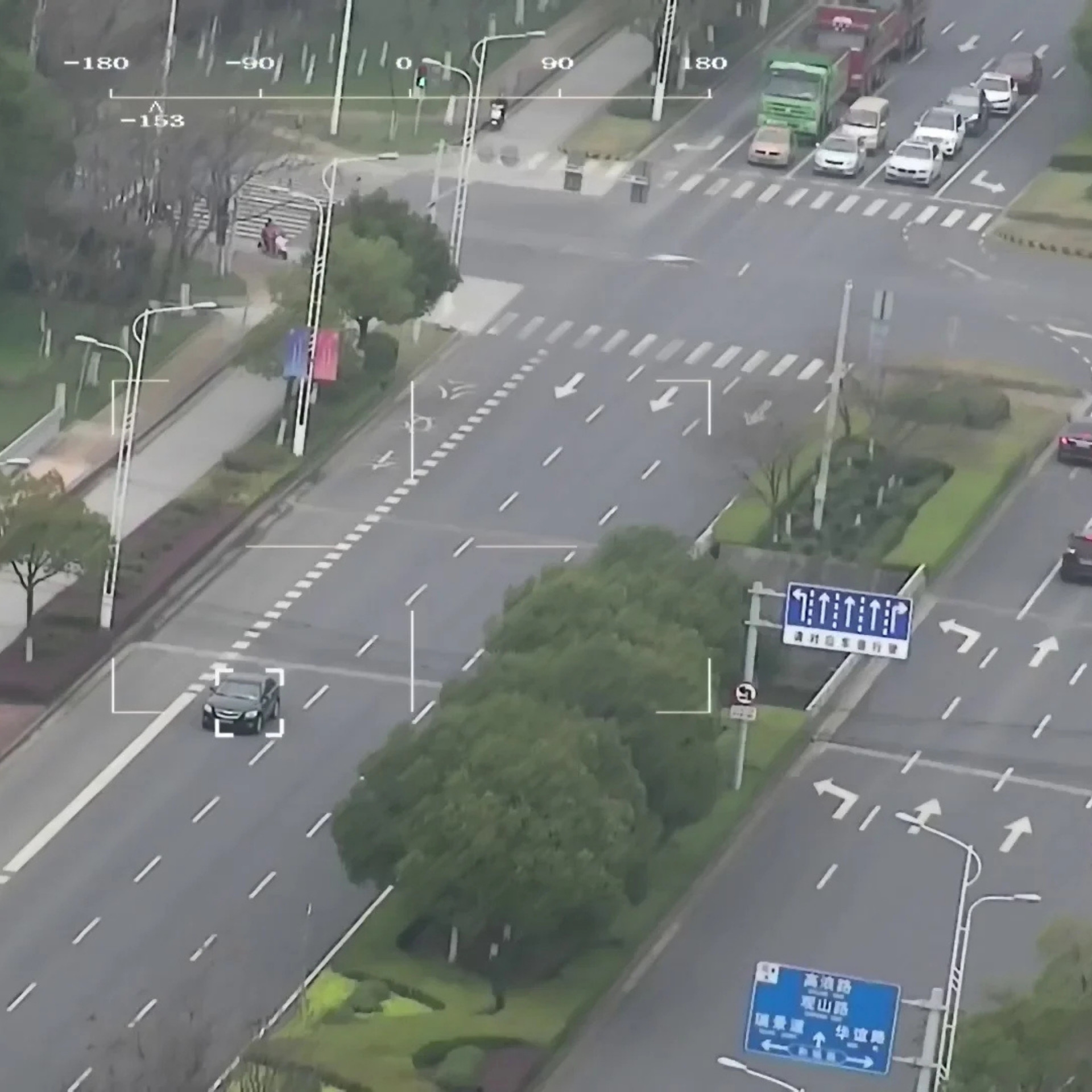
Daylight Camera
Captures high-resolution visual intelligence for border surveillance, tactical reconnaissance, infrastructure monitoring, and real-time situational awareness.
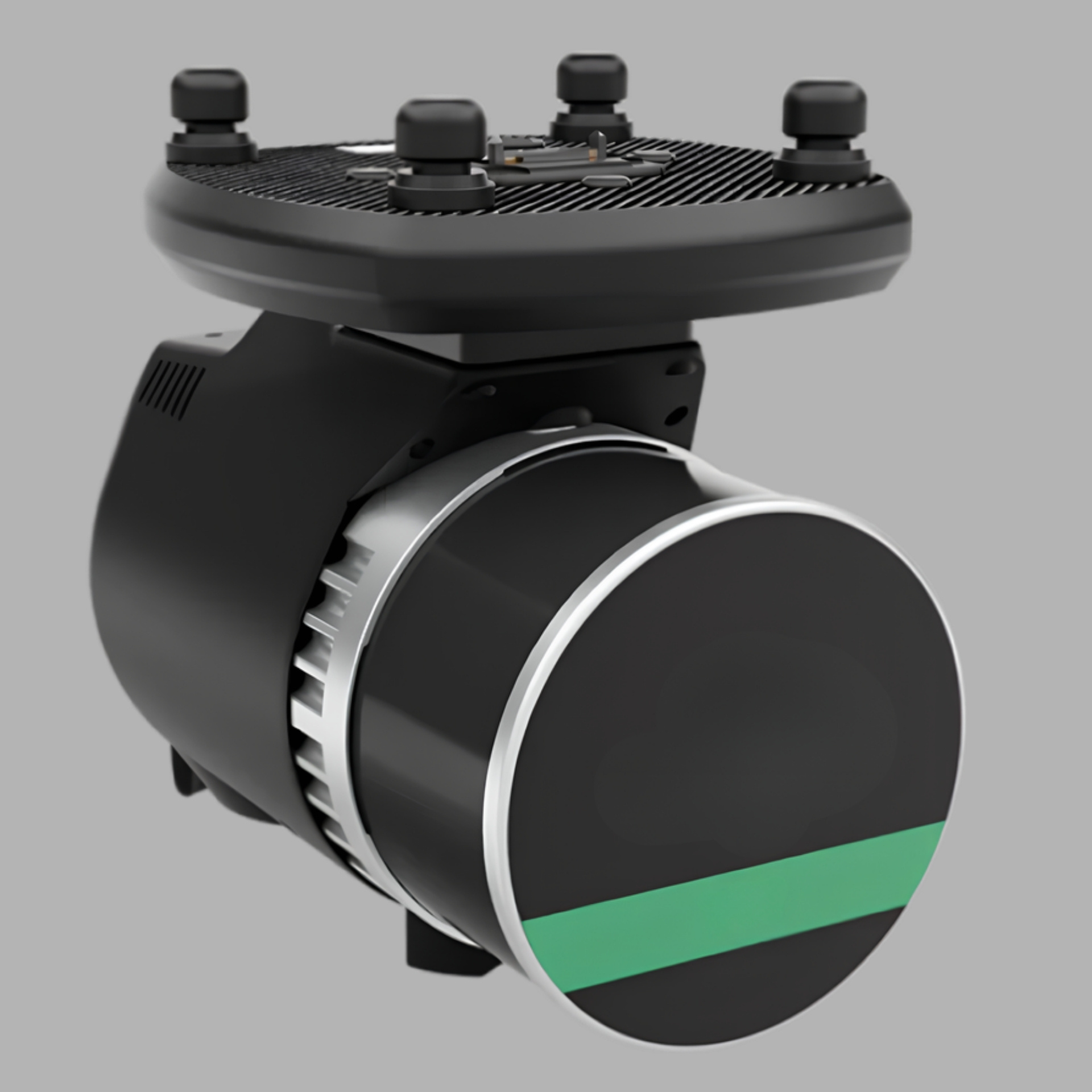
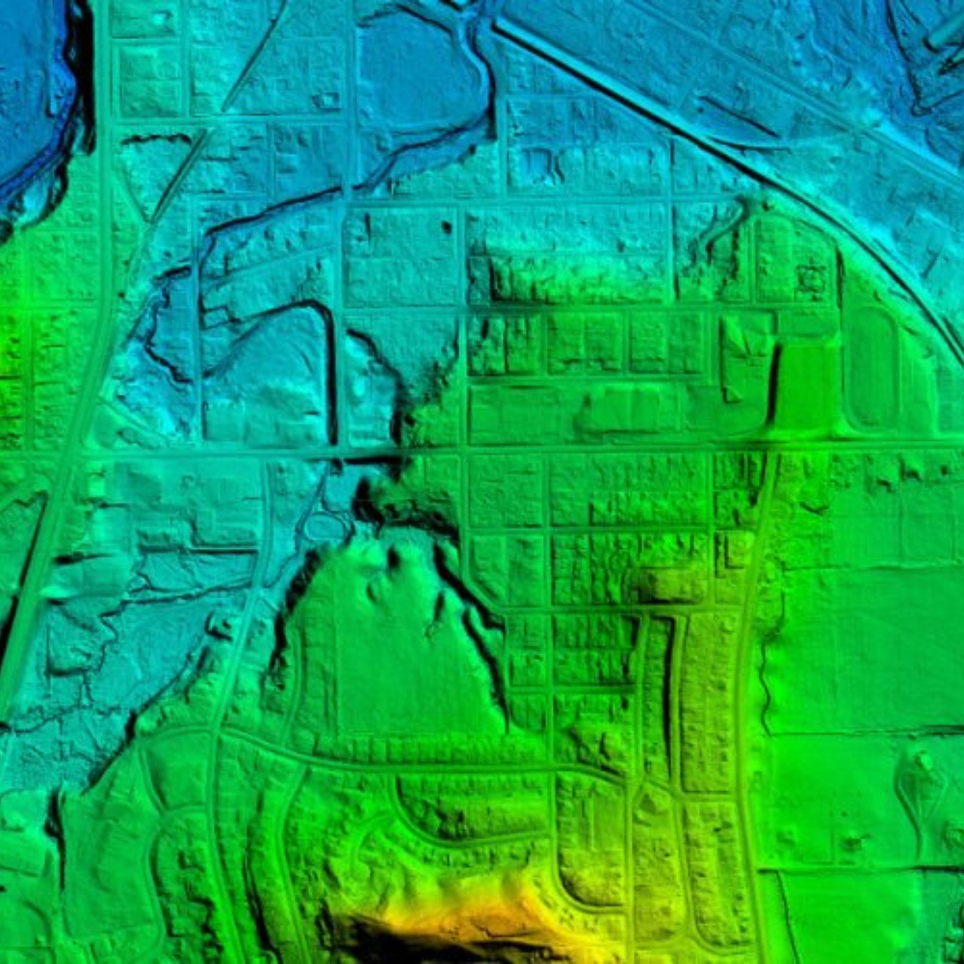
LiDAR Sensor
Generates highly accurate 3D terrain models, elevation data, and obstacle mapping for mission planning and autonomous navigation.
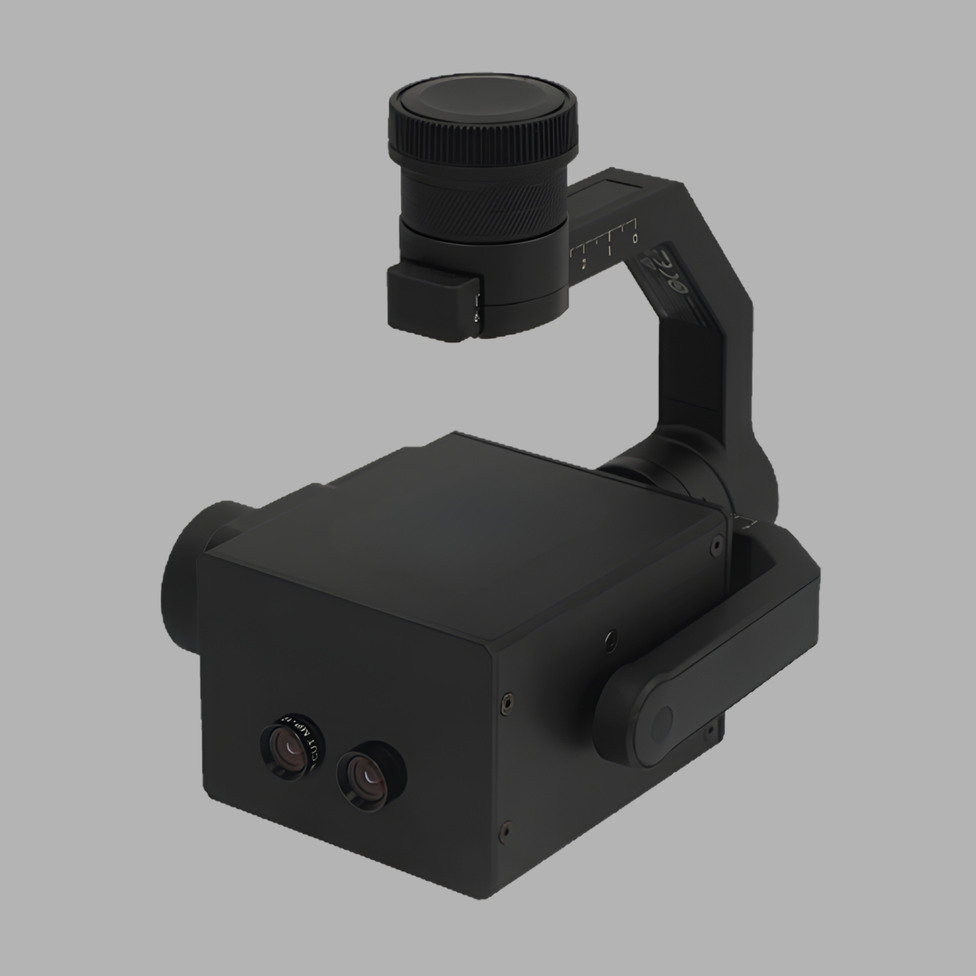
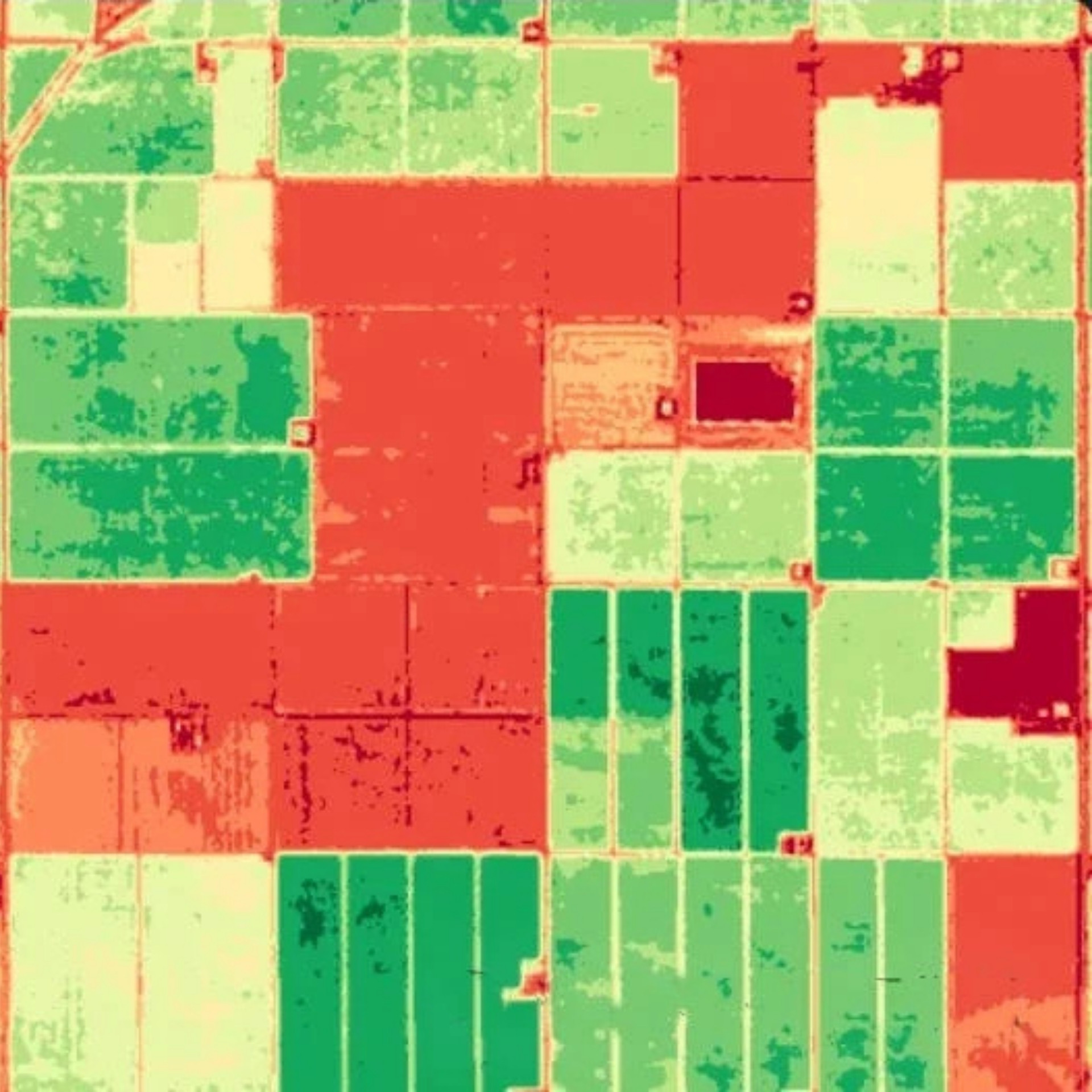
Hyperspectral Sensor
Identifies materials and surface characteristics through spectral analysis, supporting environmental monitoring, camouflage detection, and specialized reconnaissance missions.
Download Brochure
Be ready for any mission—anytime, anywhere—without compromise