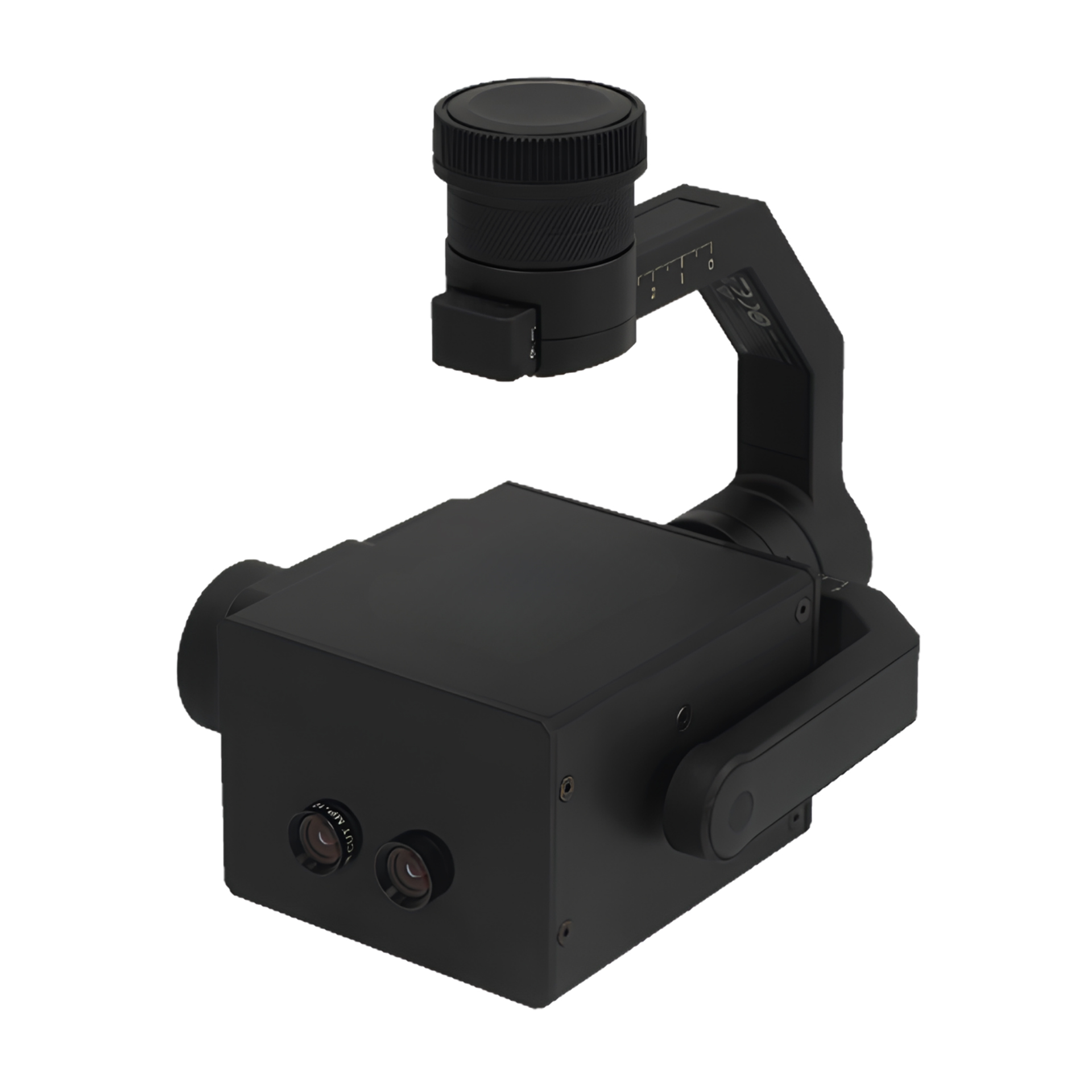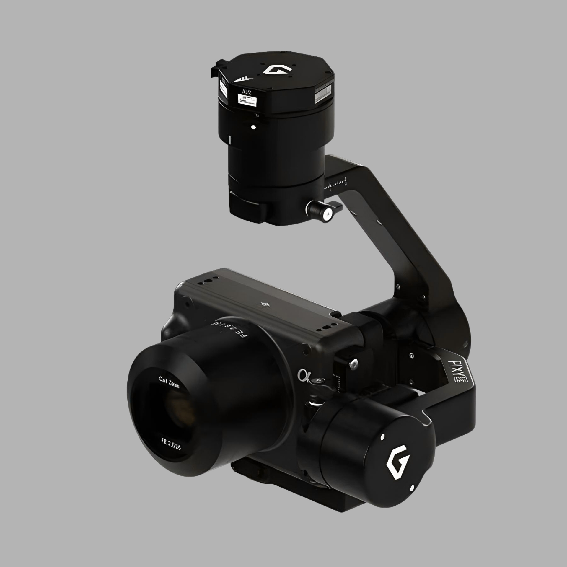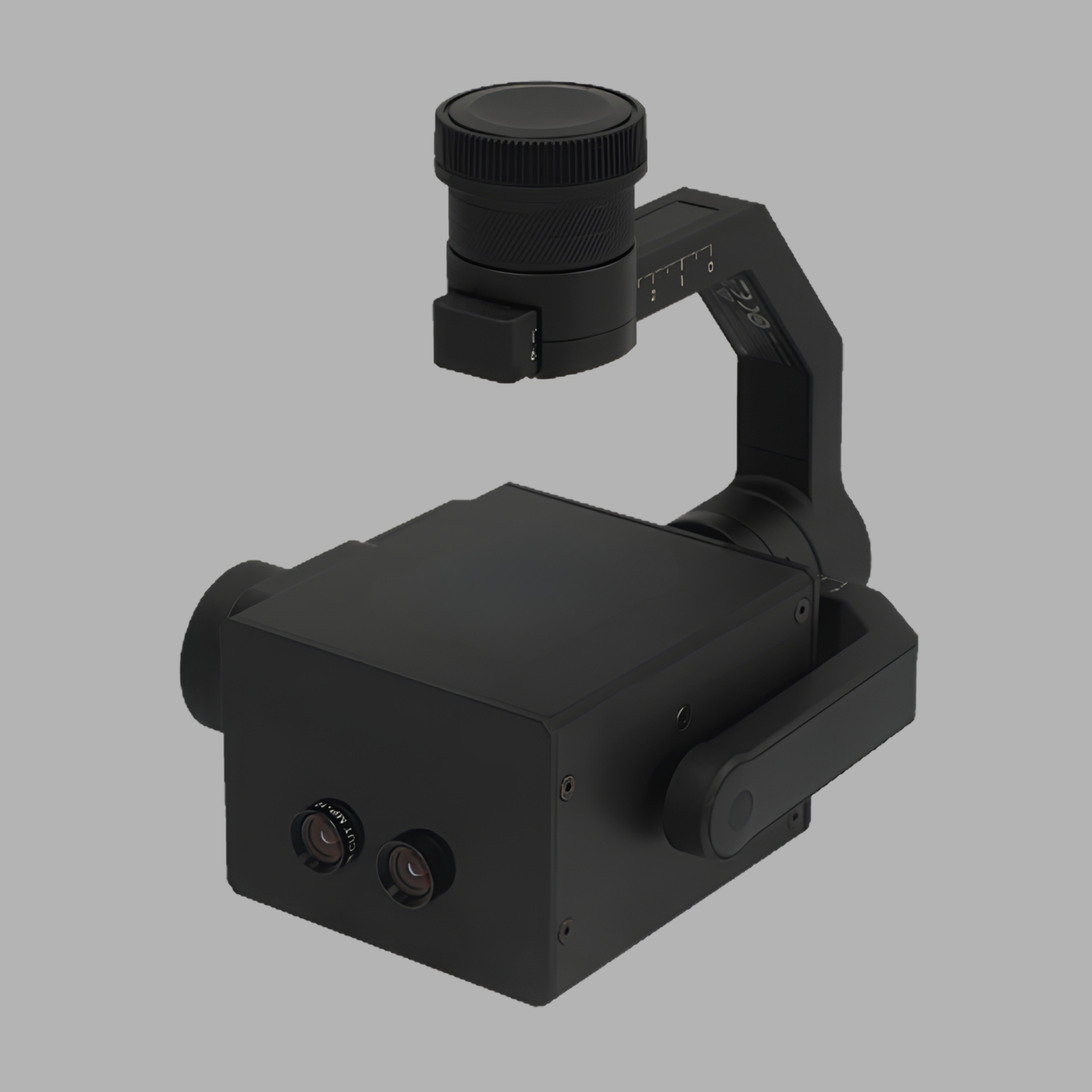

data collection and visualization from construction site monitoring and powerline inspections to military reconnaissance and tactical surveillance, these systems integrate cutting-edge imaging technologies to meet the demands in diverse applications. In challenging environments, enhancing mission success in fields such as environmental, monitoring disaster response, and border security.
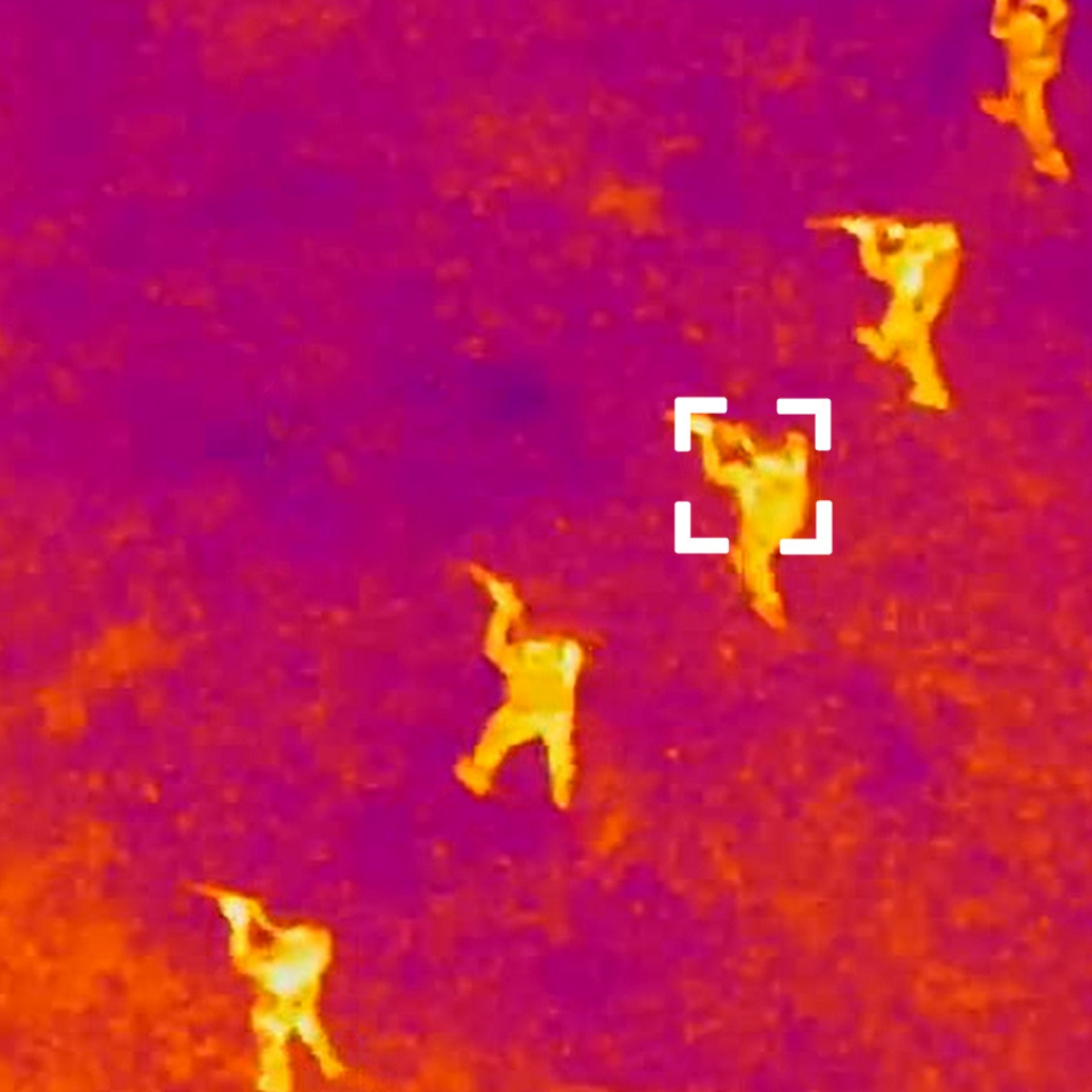
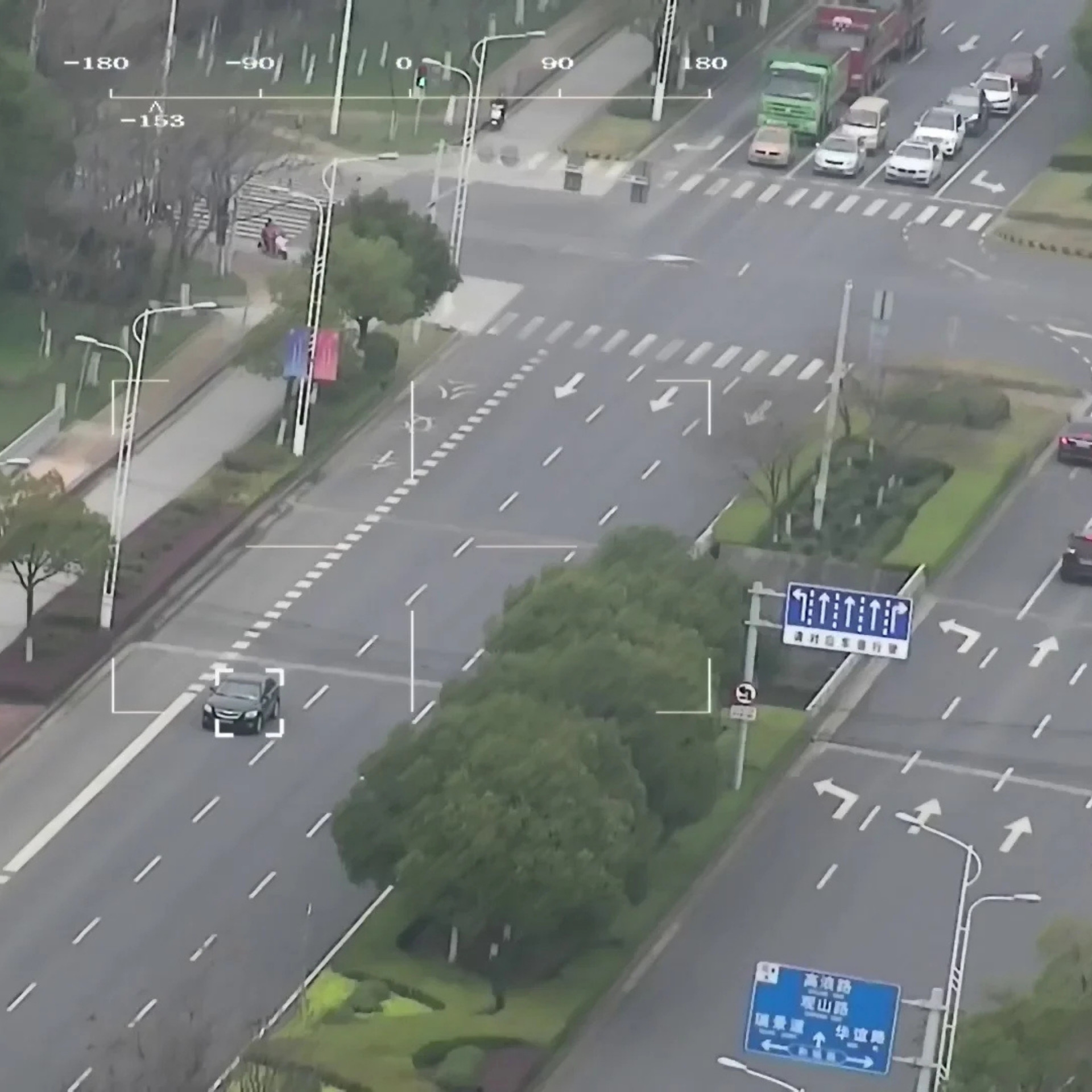
UAV's with infrared cameras are built to capture heat signature across structures, equipment, landscapes, and infrastructure from the air. UAV thermal imaging provides the wide-area survey to identify all anomalies across a facility, unlike ground-based handheld cameras.
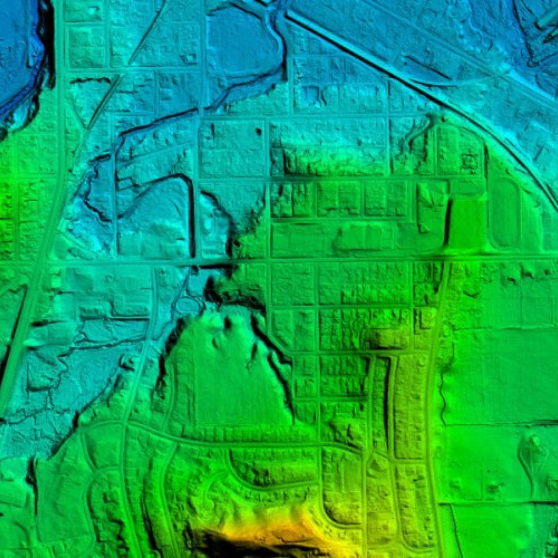
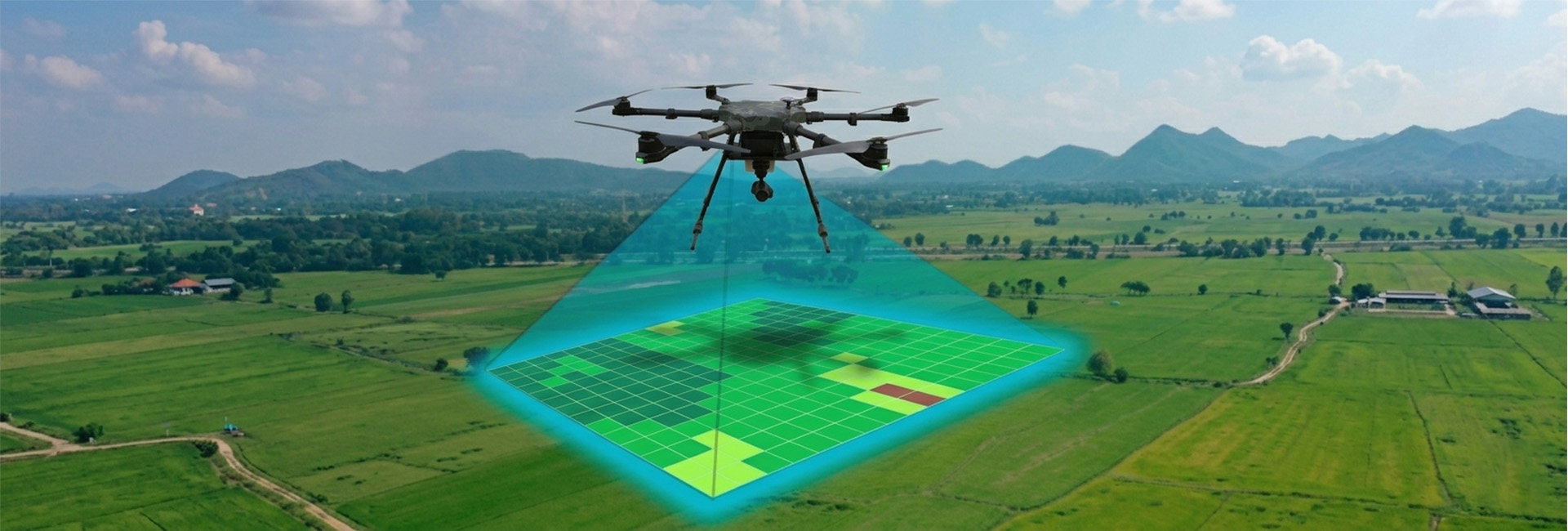
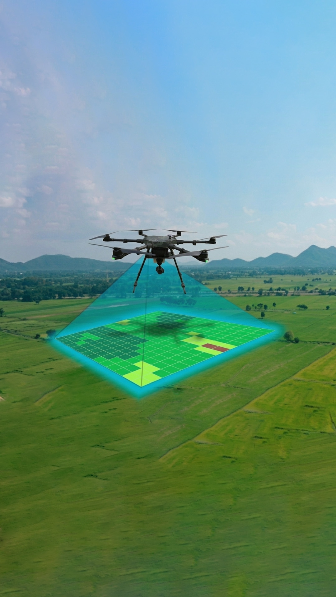
Highly accurate, cost effective, airborne LiDar, a source of terrain mapping due to the high levels of detail it provides. Provides very accurate, high resolution 3D data, captured using special sensors, form the air or the ground, it results in a set of "dots" suspended in a three-dimensional space. These dots can be displayed in special software or converted into a 3D mesh.
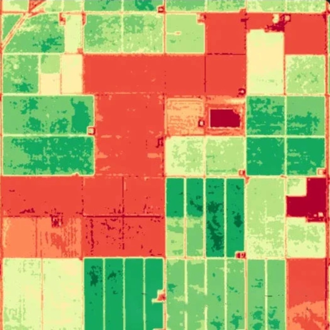
HyperSpectral Imaging sensors captures near-infrared visible and short-wavelength infrared spectra in the range of 0.4 - 2.5um regions. HyperSpectral Imaging identifies explosive material by analyzing their unique spectral signature